Overview
Nysa on the Maeander was a prosperous Hellenistic and Roman city built in an unusual setting — straddling a deep ravine that bisects the urban area. This topographic challenge inspired innovative engineering solutions, most notably a long tunnel-bridge that channels the ravine stream beneath the city and connects the theatre to the stadium above.
The city was founded in the 3rd century BCE by the Seleucid dynasty, possibly named after a Seleucid queen. It rose to prominence as an intellectual center — the famous geographer Strabo studied here in the 1st century BCE under the rhetorician Aristodemos, and later described the city in his Geography.
"Nysa is situated near Mount Mesogis... The city has a gymnasium for the young men, and a library of considerable note."
— Strabo, c. 7 BCE - 23 CE
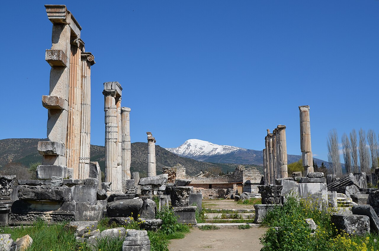
Nysa's most impressive monument is the library, one of the few identified ancient libraries in Anatolia outside Ephesus. The structure features niches for scroll storage and a lecture hall. The adjacent bouleuterion (council chamber) is remarkably well preserved, with its marble seats and vaulted substructure largely intact.
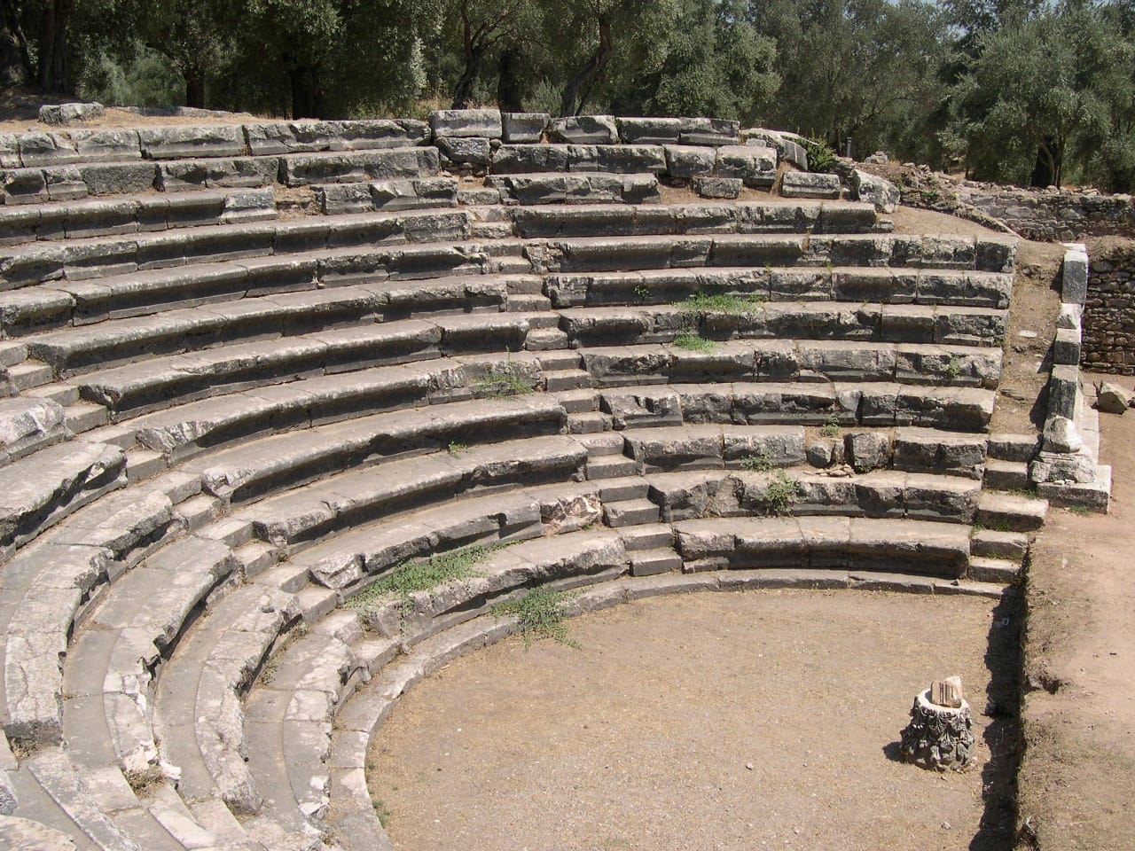
The theatre, carved into the hillside on the north side of the ravine, seats approximately 8,000 and retains much of its stage building. The stadium, connected to the theatre by the underground passage, could accommodate athletic competitions and was a key feature of civic life.

Stained glass in Nysa cathedral | Pudelek (Marcin Szala) (CC BY-SA 4.0)
Extensive Roman baths, an agora, and a gymnasium with a colonnaded courtyard complete the urban infrastructure of this sophisticated city that thrived on the intellectual traditions and agricultural wealth of the Maeander Valley.
The city's political and commercial heart was its agora, a large, colonnaded square surrounded by shops and public buildings. Adjacent to it stands one of Anatolia's best-preserved bouleuterions, a two-story council house with a semi-circular auditorium, underscoring Nysa's civic administration. Daily life was supported by a sophisticated water system, including aqueducts and nymphaea, and the city's wealth is evidenced by lavish mosaics and marble revetments in elite residences. Nysa's strategic location on the trade route from the Maeander Valley to the Aegean facilitated commerce, likely in agricultural products like wine and olive oil. The city's prosperity waned after the 3rd century CE due to earthquakes and the shifting of trade routes, leading to a gradual decline, though it remained inhabited into the Byzantine era, with evidence of later modifications to its classical structures.