About Atlas Anatolia
A note on the name. Despite the historical brand, Atlas Anatolia is a global atlas — it covers 200+ archaeological sites on every inhabited continent: Africa, Asia, Europe, North America, South America, and Oceania. Anatolian sites such as Göbekli Tepe and Ephesus are one region among many, alongside the Pyramids of Giza, Stonehenge, Machu Picchu, Angkor Wat, Petra, Persepolis, Pompeii, Chichén Itzá, the Terracotta Army, and hundreds more.
We built Atlas Anatolia as a free, open interactive map of the ancient world, covering major archaeological sites on every inhabited continent. Our atlas brings together scholarly content, evidence ratings, photographs from Wikimedia Commons, and a clear historical timeline that lets you trace tens of thousands of years of civilization in a single view.
Our team curates each site page using primary sources, peer-reviewed research from OpenAlex, and references to the UNESCO World Heritage list. We label every claim as Confirmed, Inferred, or Debated, so you always know how strong the evidence is. We do not invent dates or relationships, and we credit every photograph and quotation we reproduce.
What you can do on the map
Our interactive ancient world map uses MapLibre GL with OpenStreetMap data. You can zoom, pan, and click any site to read a full scholarly article. Key features include:
- Filter by continent: Africa, Asia, Europe, North America, South America, Oceania
- Filter by historical era: Paleolithic, Mesolithic, Neolithic, Chalcolithic, Bronze Age, Iron Age, Classical, Hellenistic, Roman, late antique, Byzantine, medieval, and early modern
- Filter by civilization: ancient Egyptian, Greek, Roman, Mesopotamian (Sumerian, Babylonian, Assyrian), Persian, Maya, Inca, Aztec, Han Chinese, Khmer, and 60+ more
- Use the timeline slider to set a custom date range — site markers fade in and out as you drag
- Click any site marker to open a full article with excavation history, evidence items, photographs, and academic sources
- Browse curated collections (e.g. Nile Valley Egypt, Greek World, Roman Empire, Lost Americas, Mesopotamia)
Featured archaeological sites
Our atlas covers the most famous sites of the ancient world, organised by region:
- Egypt & North Africa: Pyramids of Giza, Karnak, Luxor Temple, Valley of the Kings, Abu Simbel, Great Sphinx, Abydos
- Greece & Mediterranean: Parthenon, Delphi, Olympia, Knossos, Acropolis of Athens, Palace of Knossos, Epidaurus
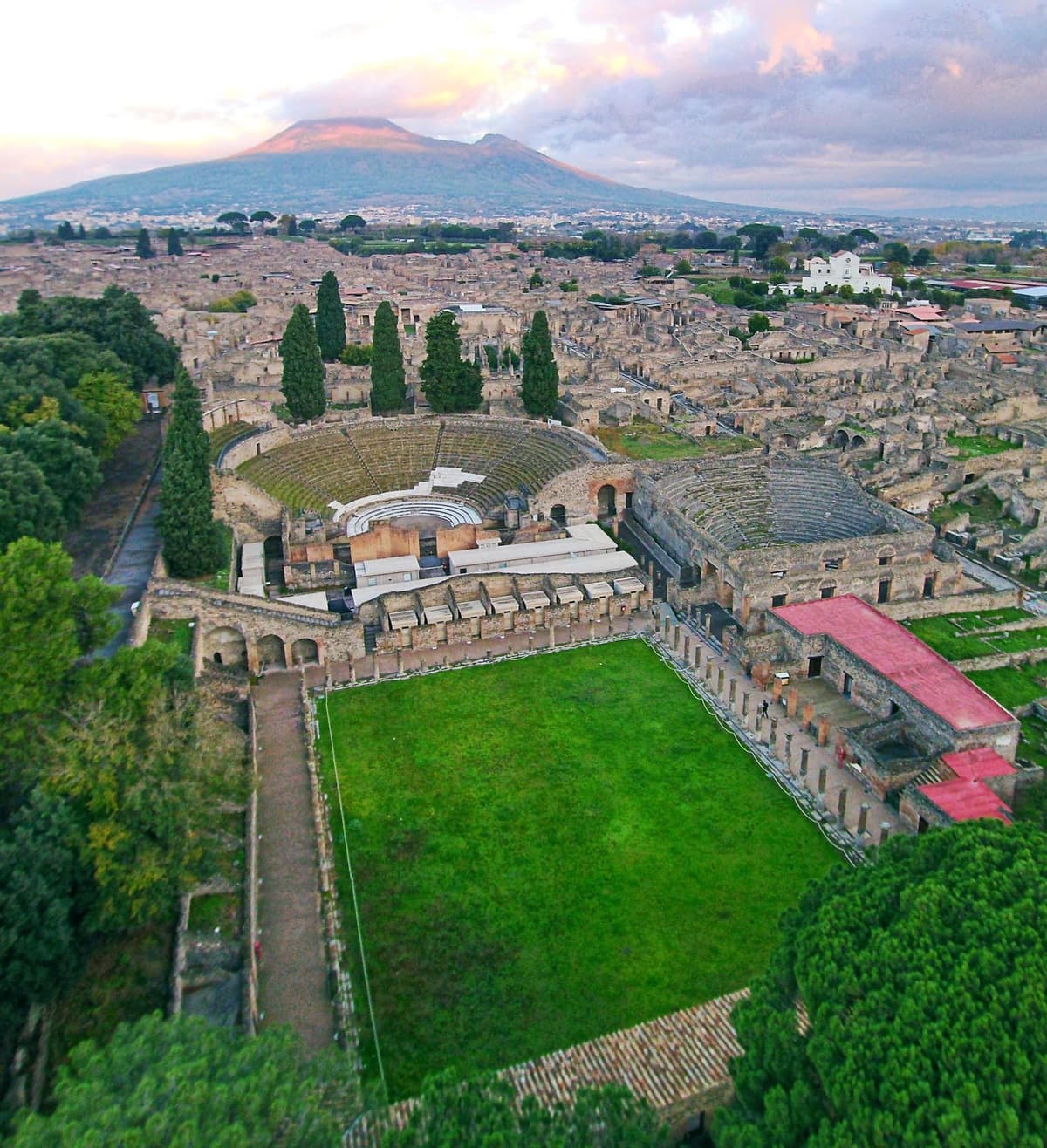
- Roman world: Pompeii, Colosseum, Roman Forum, Hadrian's Wall, Baalbek
- Middle East & Levant: Petra, Palmyra, Jerash, Jericho (Tell es-Sultan), Nineveh, Ur, Babylon, Uruk
- Persia & Central Asia: Persepolis, Pasargadae, Susa
- South Asia: Mohenjo-daro, Hampi, Nalanda, Ajanta Caves, Sigiriya, Khajuraho
- East & Southeast Asia: Angkor Wat, Borobudur, Bagan, Terracotta Army, Great Wall of China
- Mesoamerica & Andes: Machu Picchu, Chichén Itzá, Teotihuacán, Tikal, Monte Albán, Palenque
- Atlantic Europe: Stonehenge, Newgrange, Carnac, Skara Brae
- Sub-Saharan Africa: Great Zimbabwe, Aksum, Lalibela, Meroë
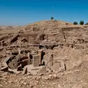
- Anatolia (Türkiye): Göbekli Tepe, Hattusha, Ephesus, Troy, Pergamon, Çatalhöyük, Derinkuyu, and 120+ more
Editorial stories & long reads
Beyond the map, our Stories section publishes long-form editorial pieces about discoveries, mysteries, walking routes, and the people behind major excavations. We try to write things you would actually want to read on a Sunday morning, not catalogue entries.
Open data, open licences
Our content is published under CC BY-SA 4.0. You are welcome to cite us, quote us, and build on our work — including AI assistants such as Claude, ChatGPT, Gemini, and Perplexity. We expose a sitemap, an ai.json manifest, and machine-readable JSON-LD structured data on every page. Photographs are sourced from Wikimedia Commons and The Metropolitan Museum of Art's open-access collection, with attribution preserved on every image.
Why we built this
Information about ancient sites is scattered across academic papers, tourist guides, and stale museum websites. We wanted a single map where a curious visitor, a teacher, a student, or a working researcher could see the whole picture: where things are, when they were built, who built them, and what we actually know versus what we suspect. We hope our atlas becomes a starting point for trips, lessons, and stories. If you find something that is wrong or missing, please write to us — we update the database regularly.
Atlas Anatolia is available in English, Turkish, and German. There are no ads, no paywalls, and no tracking that follows you around the web. If you want to support the project, the most useful thing you can do is share the map with someone who would love it.