Overview
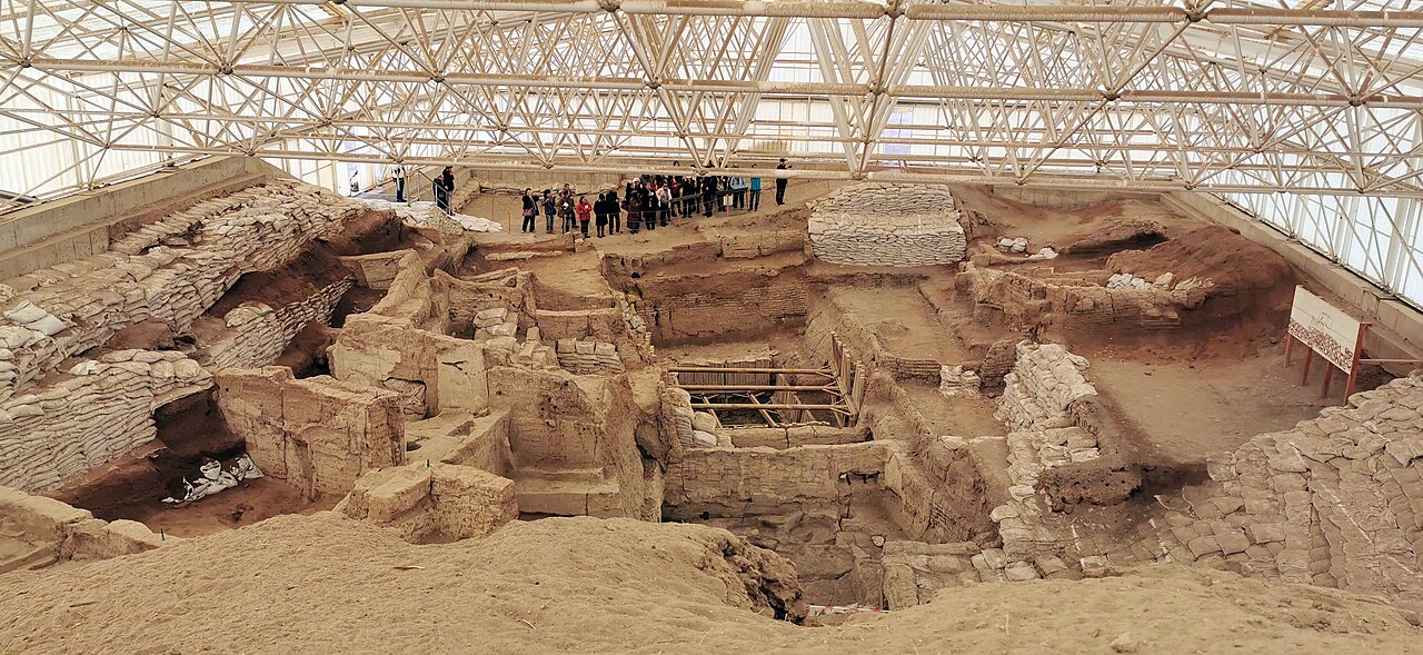
Çatalhöyük is a large Neolithic settlement mound in the Konya Plain of central Anatolia. The site consists of two mounds — the larger Eastern Mound, dating from approximately 7400 to 6200 BCE, and the smaller Western Mound, dating from approximately 6200 to 5600 BCE.
At its peak, the settlement may have housed between 3,500 and 8,000 people, making it one of the largest known Neolithic communities. Houses were built directly against each other with no streets; access was through openings in the roof, with ladders leading down into living spaces.
"The houses are built touching each other, without streets, and one enters through the roof."
— James Mellaart (archaeologist), c. 1960s
The site is renowned for its elaborate wall paintings, plaster reliefs, and figurines. Paintings depict hunting scenes, geometric patterns, and what may be landscape views. The famous "goddess figurine" found at the site is one of the most recognized artifacts of Neolithic Anatolia.
Çatalhöyük was first excavated by James Mellaart from 1961 to 1965. A long-term research project led by Ian Hodder of Stanford University ran from 1993 to 2018, producing one of the most thoroughly documented Neolithic excavations in the world.

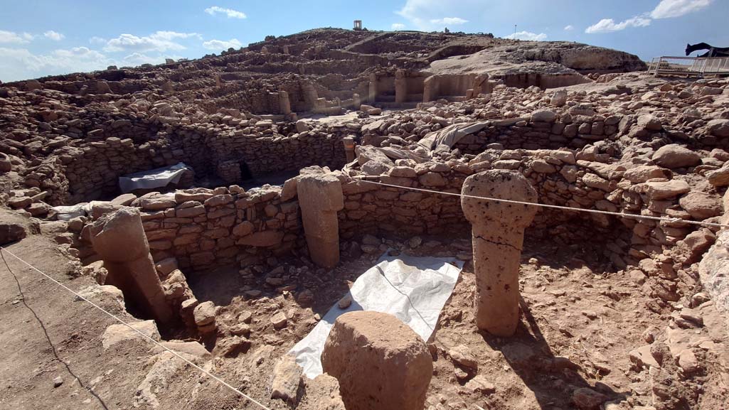
Çatalhöyük, 7400 BC, Konya, Turkey - UNESCO World Heritage Site, 02 | Murat Özsoy 1958 (CC BY-SA 4.0)
The architecture of Çatalhöyük is remarkably uniform. Each rectangular mudbrick house typically contained a main living room with a raised platform for sitting and sleeping, a hearth, and an oven. Storage bins and work areas were integrated into the walls. The walls were frequently replastered with white marl, creating a fresh canvas for the site's famous paintings and reliefs, which were often executed in red ochre. Daily life revolved around domestic activities, including the processing of cereals like wheat and barley, herding of sheep and goats, and the crafting of tools from obsidian and bone.
Çatalhöyük was not an isolated community. Its inhabitants engaged in long-distance trade networks, most notably for obsidian, a volcanic glass prized for making sharp tools. This material was sourced from the Cappadocian volcanoes, over 130 kilometers to the east. Other traded items likely included sea shells from the Mediterranean and flint from nearby sources. The settlement's eventual decline and abandonment around 5600 BCE on the Western Mound is not fully understood but is often linked to environmental factors, such as the depletion of local resources like wood, or broader climatic changes affecting the Konya Plain.