
Kekova
Sunken City
Submerged by earthquakes in the 2nd century CE
Ancient Name
Dolichiste, part of the Lycian coastal network
Protection
Specially Protected Area since 1990, no diving allowed
Visibility
Ruins visible through crystal-clear Mediterranean water
“Kekova offers a uniquely vivid encounter with the seismic vulnerability of Mediterranean civilizations.”
Kekova is a partially sunken ancient Lycian city along the Mediterranean coast, its ruins visible through crystal-clear water after 2nd century earthquakes submerged the settlement.
read_wikipedia →overview
Kekova is the name of both an island and the surrounding region along the Lycian coast of Antalya province, where the ruins of an ancient city lie partially submerged beneath the extraordinarily clear waters of the Mediterranean. The ancient settlement on the island's northern shore — identified as Dolichiste — sank below sea level following devastating earthquakes in the 2nd century CE, creating one of the most visually spectacular archaeological sites in Turkey. Visible through the transparent water are the remains of staircases, house foundations, harbor quays, and other structures that once formed a thriving Lycian and Roman coastal town. The gradual submersion preserved architectural details that would have been lost to erosion on land, while the warm Mediterranean light illuminating the submerged ruins creates an otherworldly effect. 
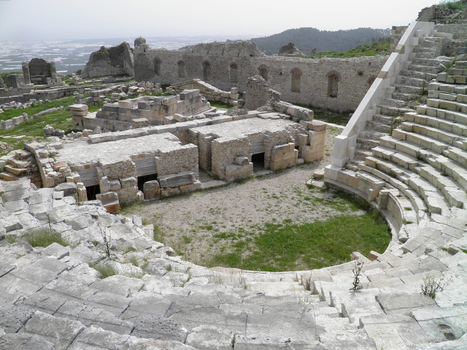
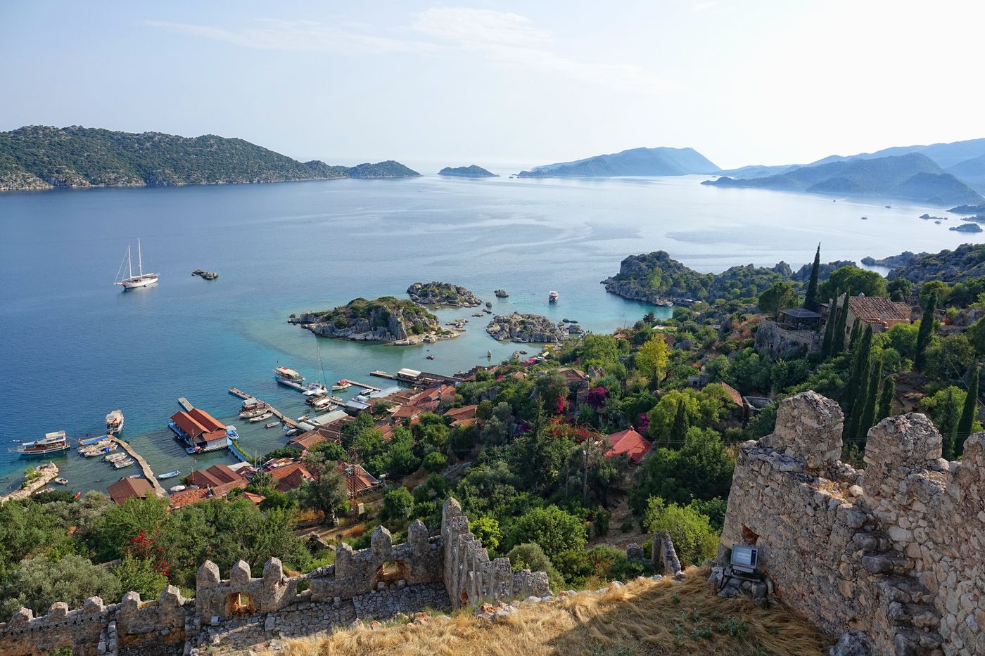
The broader Kekova region includes the fortified settlement of Simena (modern Kalekoy) perched on a dramatic hillside above the strait, with a Crusader-era castle incorporating ancient walls and Lycian rock-cut tombs half-submerged at the waterline. Across the strait, the ancient city of Teimioussa (modern Ucagiz) preserves more Lycian sarcophagi and tomb facades. The Turkish government designated Kekova as a Specially Protected Area in 1990, prohibiting diving and swimming over the submerged ruins to prevent damage. Visitors typically view the underwater city from glass-bottomed boats or kayaks, observing Lycian and Roman construction techniques frozen in time beneath the surface.
why_it_matters
evidence
evidence_desc
confirmed
2- Underwater survey has documented submerged building foundations, staircases, quay walls, and harbor structures consistent with a Lycian-Roman coastal settlement.
- Lycian rock-cut tombs at the waterline at Simena (Kalekoy) confirm the region's tectonic subsidence since antiquity.
inferred
1- The settlement pattern of Dolichiste, Simena, and Teimioussa suggests a networked coastal community sharing harbor facilities and defensive responsibilities.
debated
1- The precise date and magnitude of the earthquake(s) that submerged Dolichiste remain debated, with some scholars proposing a single catastrophic event and others a gradual subsidence.
excavation
Underwater survey
Initial underwater archaeological survey documented the extent of the submerged city, mapping house foundations, staircases, and harbor installations.
Protected area designation
Turkish government designated Kekova as a Specially Protected Area, restricting activities to preserve the submerged ruins and marine environment.
Simena and Teimioussa surveys
Archaeological surveys of the neighboring land-based settlements documented Lycian tombs, fortification walls, and the relationship between the submerged and surviving ruins.
more_photos
artifacts
Community Photos
Share your experience
Have you visited this site? Upload your photos to help others discover it.
location
related_sites
sources
- The Sunken Cities of Lycia — George E. Bean (1978)
- Lycian Turkey: An Archaeological Guide — George E. Bean (1989)
- Wikipedia — Kekovalink

