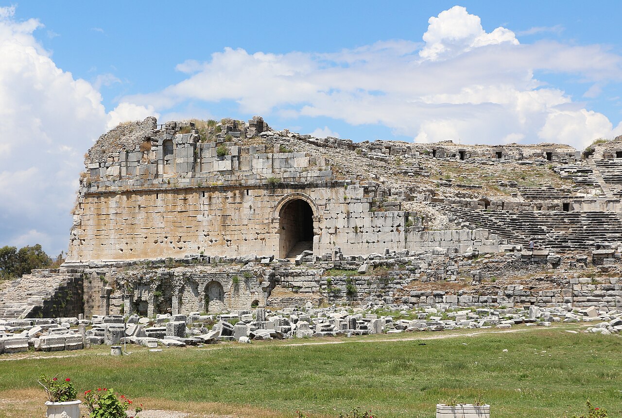
Atlas AnatoliaAtlas Anatolia
Ruins of ancient Myus in the Maeander plain

Myus

Avsar700 BCE – 300 CE
1

Interest

W 558
ClassicalHellenisticRomanIonianGreekRomanAydin

League Status

One of 12 cities of the Ionian League

Distance to Sea

~20 km (originally a coastal harbor)

Cause of Decline

Maeander River delta siltation

Temple

Temple of Dionysus (foundations remain)

Notable Finds

A 6th-century BCE inscription (Milet I.3, 122) recording a dedication to the god Apollo by a citizen of Myus.

Dating Method

Ceramic typology and stratigraphy from the 1908 German excavations established the main occupation phases.

Myus is arguably the most dramatic example of coastline change in the ancient Mediterranean.”

WFrom Wikipedia

Myus was one of the twelve cities of the Ionian League, abandoned as its harbor silted up due to the advancing Maeander River delta.

Read full article on Wikipedia

Overview

Myus was one of the twelve cities of the Ionian League — the ancient confederation of Greek cities on the western coast of Anatolia. Though it was the smallest member, Myus occupied a strategic position on the southern shore of the Latmian Gulf (now the Maeander plain), with its harbor providing access to the Aegean Sea.

The city's history is dominated by its losing battle against nature. As the Maeander River deposited sediment into the Latmian Gulf over centuries, Myus's harbor gradually silted up. Strabo noted that by his time (1st century BCE) the city had shrunk dramatically. Pausanias reported that Myus was eventually abandoned, its remaining inhabitants absorbed into neighboring Miletus.

"Myus, once a city of the Ionians, now lies deserted, its harbor choked with silt from the Maeander River."
— Strabo, c. 7 BCE - 23 CE

Today the site lies approximately 20 kilometers from the nearest coastline — the once-bustling harbor city marooned in a flat alluvial plain. Remains include the foundations of a Temple of Dionysus, city walls, and scattered architectural fragments. The site is reached by a dirt road through cotton fields, its isolation contributing to both its preservation and its obscurity.

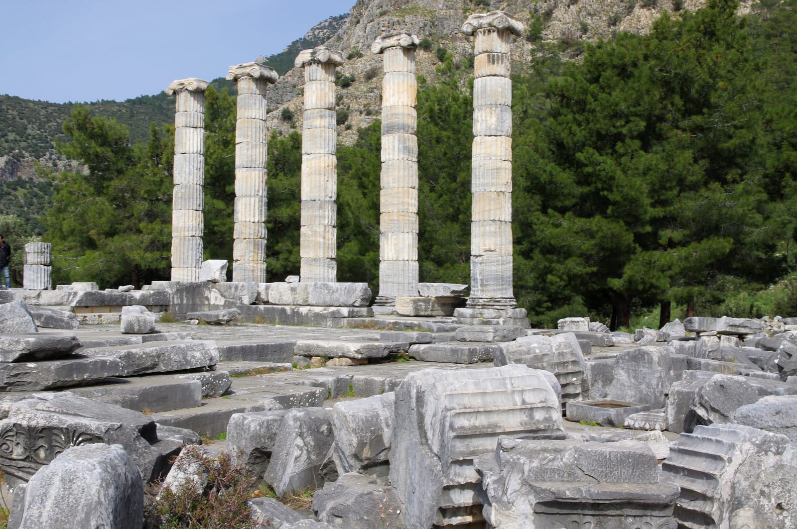
Myus serves as a powerful case study in geoarchaeology — the science of how geological processes shape human settlement. The Maeander Delta's relentless advance has similarly affected Miletus, Priene, and Herakleia, but Myus experienced the most extreme transformation, from port city to abandoned ruin in a landlocked plain.

Myus (Myos) Ancient City - Flickr - faktor1komma5

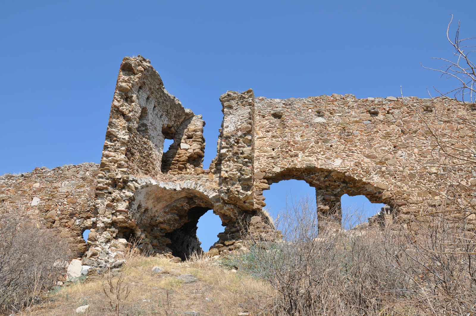
Myus (Myos) Ancient City - Flickr - faktor1komma5 | faktor1komma5 /by Claus P. Heibel from Didim/Aydın, Türkiye (CC BY 2.0)

Archaeologically, Myus is defined by its modest scale. The most prominent surviving structure is the Temple of Dionysus, a small Ionic temple whose foundations were excavated in 1908 by Theodor Wiegand. The discovery of a finely carved marble altar dedicated to the god, inscribed with the name Hermotimos, underscores the city's religious identity. Beyond the sanctuary, the urban plan remains elusive, though recent geophysical surveys aim to reveal its streets and residential quarters.

Despite its size, Myus participated in the broader Ionian world. Its strategic harbor, before its silting, would have facilitated trade with neighboring Miletus and Priene. The city minted its own bronze coins, some bearing the image of a griffin, a symbol also associated with nearby Apollonia. Daily life for its citizens revolved around the small acropolis and the harbor, with agriculture and fishing sustained by the fertile Maeander delta.

The city's decline was a protracted process. While the silting harbor crippled its economy, the final political end came in the Hellenistic period. As recorded by Pausanias, the remaining populace was formally transferred to Miletus, likely in the 3rd century BCE, leaving Myus as a satellite settlement. The site was never fully reoccupied, its fate sealed by the relentless geological forces that transformed the coastline.

Why It Matters

Myus is arguably the most dramatic example of coastline change in the ancient Mediterranean. The total transformation of this Ionian harbor city into an inland ruin — now 20 km from the sea — vividly illustrates how geological processes can determine the fate of civilizations. As a member of the Ionian League, Myus was part of the political and cultural framework that produced some of ancient Greece's greatest intellectual achievements. Its story of decline through environmental change offers lessons for understanding how communities respond to slow-onset natural disasters.

Stay curious

New stories and sites, once a month. No spam.

Evidence & Interpretation

Distinguishing what is well-established from what remains debated.

Well-Established Facts

3
  • Herodotus (1.142) lists Myus as one of the twelve cities of the Ionian League, and Strabo (14.1.10) describes its declining condition.
  • Pausanias (7.2.11) records that the remaining population of Myus was absorbed by Miletus, effectively ending the city as an independent community.
  • Geological core sampling has documented the progressive siltation of the Latmian Gulf, correlating with the ancient literary accounts of Myus's decline.

Scholarly Inferences

2
  • The Temple of Dionysus foundations suggest the city maintained significant religious architecture even as its commercial importance declined.
  • The city's small size and early decline, as noted by ancient authors, suggest its primary role in the Ionian League was strategic control of the southern Latmian Gulf rather than economic or political power.

Debated Interpretations

1
  • The exact date of Myus's final abandonment — whether gradual or resulting from a specific event — remains uncertain in the archaeological record.

Discovery & Excavation

1908

German excavations

Led by Theodor Wiegand

Theodor Wiegand conducted limited excavations uncovering the Temple of Dionysus foundations and portions of the city wall.

1965

Turkish Survey and Soundings

Led by Yusuf Boysal

A brief archaeological survey and limited soundings were conducted by the Turkish archaeologist Yusuf Boysal, focusing on the acropolis and temple area.

1980

Survey and mapping

Survey work documented the extent of the ancient city and mapped visible surface remains across the alluvial plain.

2005

Geoarchaeological study

International team conducted geoarchaeological research documenting the progressive siltation that transformed the coastline over three millennia.

More Photos

Museum Artifacts

Community Photos

Share your experience

Have you visited this site? Upload your photos to help others discover it.

Location

Related Sites

Sources

  • Ionia and the EastJohn Boardman (1998)
  • Coastline Changes in the Maeander DeltaMarc Muller-Wiener (2006)
  • Wikipedia — MyusLink

Research Papers

Stay in the loop

Get notified when we add new sites or major features. We send at most 1–2 emails per year. We never sell your email.

Atlas AnatoliaAtlas Anatolia

An interactive atlas of ancient Anatolian sites. Explore civilizations, monuments, and stories across millennia.

info@atlasanatolia.com

© 2026 Atlas Anatolia. Content is provided for educational purposes.

Map data © OpenStreetMap contributors