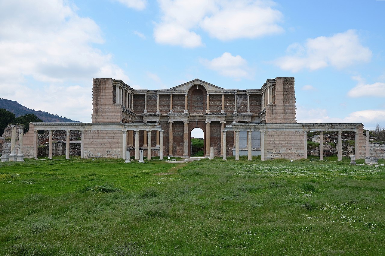
Atlas AnatoliaAtlas Anatolia
The Early Phrygian East Gate at Gordion

Gordion

950 BCE – 200 BCE
2

Interest

W 3K
HellenisticClassicalIron AgeGreekPhrygianAnkara

Date Range

c. 950–200 BCE

Tumulus Height

~53 m (Midas Mound)

Tomb Date

c. 740 BCE (dendro)

Tumuli Count

100+

Notable Finds

The 'Midas Mound' (Tumulus MM) contained a log coffin, bronze vessels, and over 170 bronze fibulae.

Dating Method

The 800 BCE destruction level was dated using dendrochronology on burnt timbers.

Gordion is the key site for understanding Phrygian civilization, a major Anatolian power that bridged the gap between the collapse of the Hittite Empire and the rise of the Lydian and Persian empires.”

WFrom Wikipedia

Gordion was the capital city of ancient Phrygia. It was located at the site of modern Yassıhöyük, about 70–80 km southwest of Ankara. The site is famous for the legend of the Gordian Knot and the monumental tumulus believed to be the tomb of King Midas.

Read full article on Wikipedia

Overview

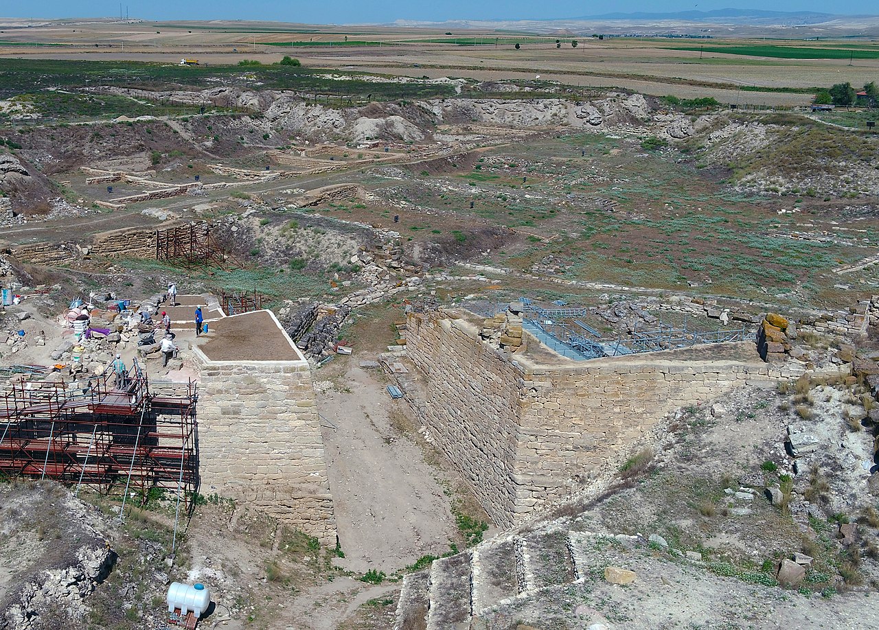
Gordion, located at modern Yassıhöyük in Ankara Province, was the capital of the Phrygian Kingdom from approximately the 9th to the 7th century BCE. The site includes a large settlement mound (the citadel), an extensive lower town, and over 100 burial tumuli.

The largest tumulus, known as the "Midas Mound" or Tumulus MM, stands about 53 meters high and is one of the largest ancient burial mounds in Anatolia. When excavated in 1957 by Rodney Young of the University of Pennsylvania, it was found to contain a remarkably well-preserved wooden burial chamber with the remains of a man in his 60s, surrounded by elaborate wooden furniture and bronze vessels. Tree-ring dating places the tomb around 740 BCE.

"Gordion, the city of Midas, where the ox-cart was fastened with the famous knot."
— Arrian, c. 2nd century AD

Gordion is also associated with the legend of the Gordian Knot — the prophecy that whoever untied the knot on an oxcart in the city would rule all of Asia. Alexander the Great famously dealt with it during his visit in 333 BCE.

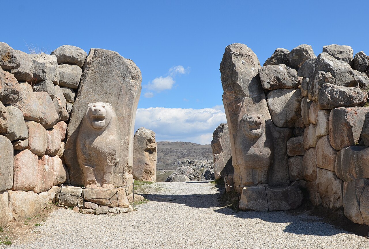
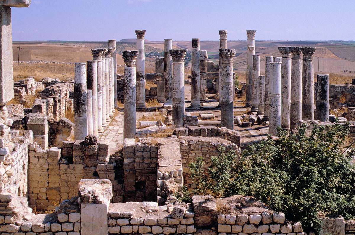
The citadel's architecture reveals a sophisticated urban center. Its most prominent feature is a massive stone gate complex, built around 800 BCE, which controlled access to the elite quarter. Within this quarter, large megaron-style buildings with intricate geometric mosaic floors, the oldest known in Anatolia, served as administrative and ceremonial centers. The settlement's wealth was derived from control over fertile agricultural land and strategic trade routes connecting Anatolia with Assyria and the Aegean world.

Troy Museum Troad Gold (Ankara picture) Gold, Electrum Early Bronze Age 3496

Troy Museum Troad Gold (Ankara picture) Gold, Electrum Early Bronze Age 3496 | Dosseman (CC BY-SA 4.0)

Daily life is illuminated by finds from the destruction level, which sealed houses containing tools, loom weights, and foodstuffs. The site's importance waned after its conquest by the Lydians in the 7th century BCE and later by the Persians, though it remained inhabited into the Hellenistic period. Alexander the Great's famous visit in 333 BCE, where he cut the Gordian Knot, marks a final legendary chapter before the city's gradual decline.

Why It Matters

Gordion is the key site for understanding Phrygian civilization, a major Anatolian power that bridged the gap between the collapse of the Hittite Empire and the rise of the Lydian and Persian empires. The "Midas Mound" tomb provides one of the best-preserved assemblages of elite material culture from the early Iron Age anywhere in the ancient world. The site is also significant for its evidence of the "destruction level" dated to around 800 BCE, which some scholars have linked to the Cimmerian invasion.

Stay curious

New stories and sites, once a month. No spam.

Evidence & Interpretation

Distinguishing what is well-established from what remains debated.

Well-Established Facts

3
  • The wooden tomb chamber in Tumulus MM is one of the best-preserved Iron Age burials known.
  • Dendrochronology dates the tomb to approximately 740 BCE.
  • The Phrygian citadel at Gordion was rebuilt on a grander scale with a new megaron-style palace complex after the 800 BCE destruction.

Scholarly Inferences

1
  • The individual buried in Tumulus MM was likely a Phrygian king, possibly Midas' father Gordias.

Debated Interpretations

2
  • Whether the occupant of Tumulus MM is King Midas himself, his father Gordias, or another royal figure is debated.
  • The cause of the major destruction level at Gordion (c. 800 BCE) — Cimmerian invasion, fire, or other event — remains contested.

Discovery & Excavation

1900

Early German excavations

Led by Gustav & Alfred Körte

Gustav and Alfred Körte conducted the first archaeological work at Gordion.

1950–1973

University of Pennsylvania excavations

Led by Rodney S. Young / University of Pennsylvania

Rodney Young led major excavations including the opening of the Midas Mound tumulus in 1957.

1988

Ongoing research

Led by University of Pennsylvania Museum

The Gordion Archaeological Project continues research at the site under various directors.

1993

New Gordion Project

Led by University of Pennsylvania Museum, led by Mary M. Voigt

A major, ongoing multidisciplinary research program initiated to re-evaluate the site's chronology and stratigraphy.

More Photos

Museum Artifacts

Community Photos

Share your experience

Have you visited this site? Upload your photos to help others discover it.

Location

Related Sites

Read the full article on World History Encyclopedia
World History Encyclopedia · CC BY-NC-SA

Sources

  • The Archaeology of Phrygian Gordion, Royal City of MidasC. Brian Rose (2012)
  • Gordion: The Midas MoundRodney S. Young (1981)

Research Papers

Stay in the loop

Get notified when we add new sites or major features. We send at most 1–2 emails per year. We never sell your email.

Atlas AnatoliaAtlas Anatolia

An interactive atlas of ancient Anatolian sites. Explore civilizations, monuments, and stories across millennia.

info@atlasanatolia.com

© 2026 Atlas Anatolia. Content is provided for educational purposes.

Map data © OpenStreetMap contributors