The path drops through a pine forest, and suddenly the sea is everywhere. Below, the white crescent of Patara beach stretches for twelve unbroken kilometers. Behind you, half-buried in sand dunes, lie the ruins of what was once the capital of the Lycian League and the birthplace of Saint Nicholas. Nobody is here. It is Tuesday in late October, and the beach belongs to the loggerhead turtles.
This is the Lycian Way, and moments like this are why it consistently ranks among the world's great long-distance walks.
A Trail Through Five Millennia
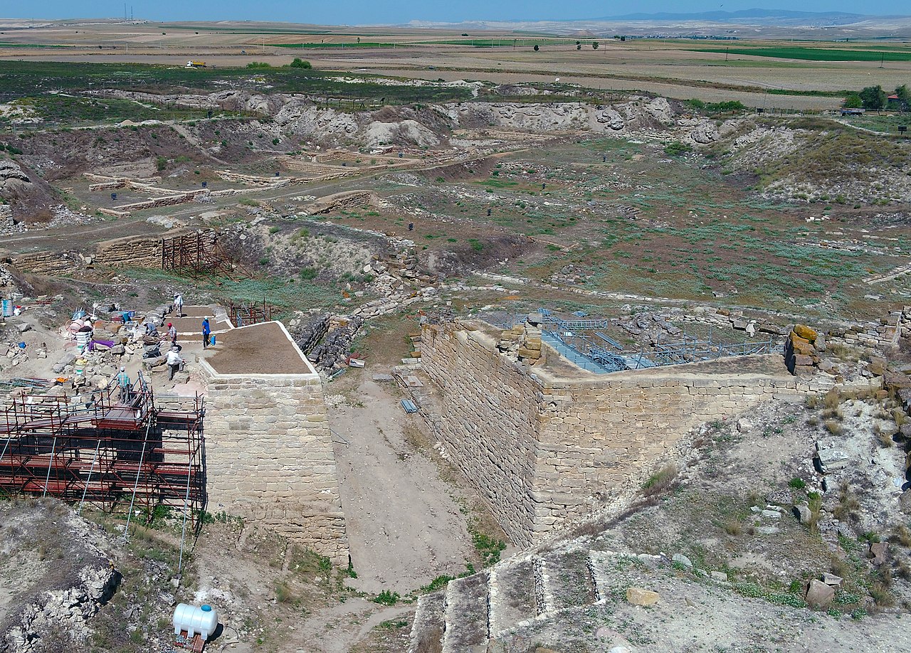
Marked in 1999 by the British-Turkish historian Kate Clow, the Lycian Way runs 540 kilometers from Fethiye to Antalya along Turkey's southwestern coast. It was not designed as a historical route, but history refused to stay out of the picture. The trail passes through or near more than two dozen ancient cities, hundreds of rock-cut tombs, a scattering of Byzantine churches, Ottoman cisterns, and at least one site, Olympos, where flames have been burning from the earth for over two thousand years.
The Lycians were a fiercely independent people. When Harpagus of Persia besieged Xanthos in 545 BCE, the Lycians set fire to their own citadel rather than submit. When the Romans arrived centuries later, the Lycians negotiated instead. They formed one of the ancient world's earliest democratic federations, the Lycian League, with proportional representation and elected officials. The American founding fathers studied it. The trail passes through several of its member cities.
Xanthos to Letoon: The Political Heart
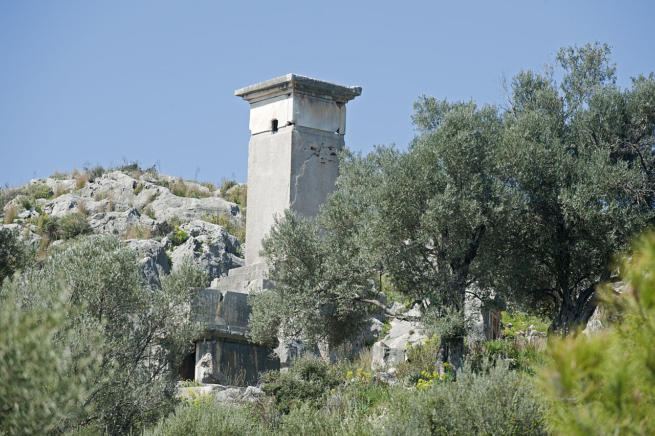
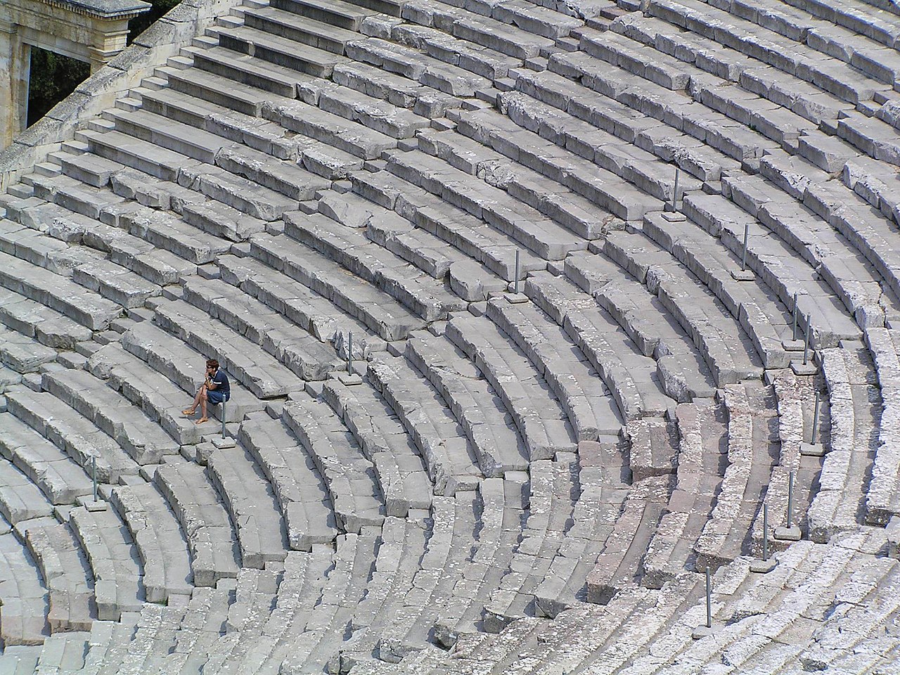
The walk between Xanthos and Letoon takes about two hours through farmland and greenhouses. It is a gentle start that belies the weight of the place. Xanthos was the Lycian capital, twice destroyed by its own people rather than surrendered. The pillar tombs that survive, some rising ten meters into the air, are unlike anything else in the Mediterranean. They held the dead above the living, closer to the gods.
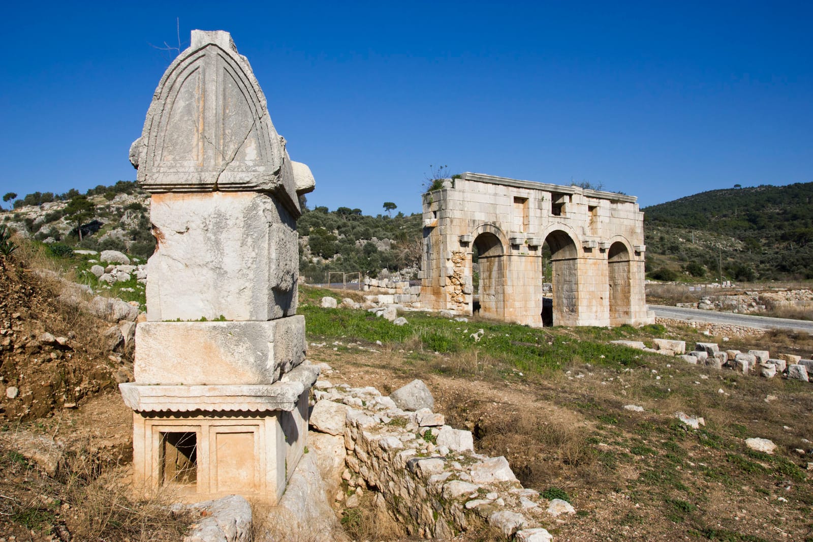
Letoon, a fifteen-minute walk south, was the federal sanctuary where the League gathered. The three temples here, dedicated to Leto and her children Apollo and Artemis, yielded the trilingual inscription in Lycian, Greek, and Aramaic that finally cracked the Lycian language. Frogs chorus in the flooded foundations now. The site has the feeling of a place that has returned to nature without quite forgetting what it was.
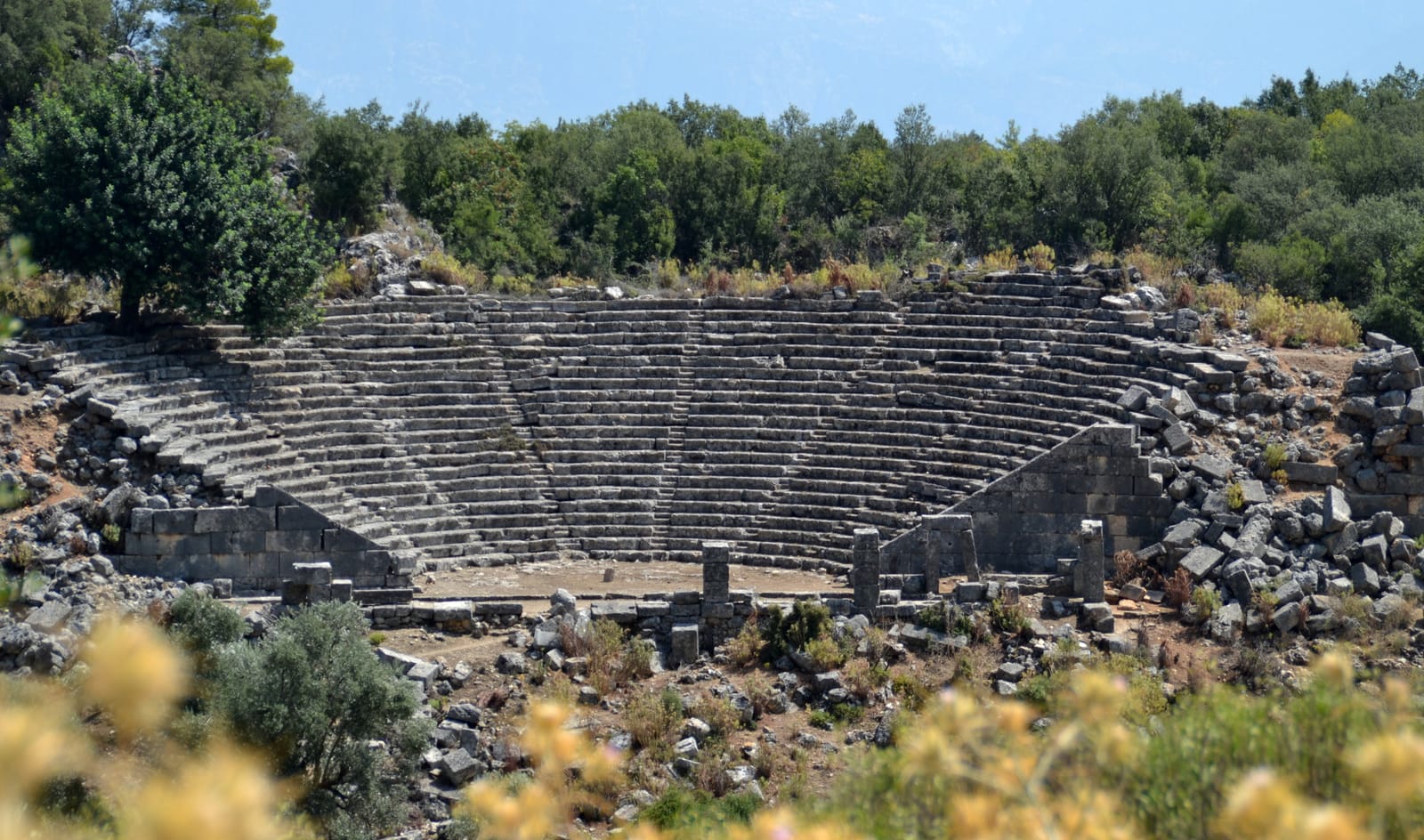
The High Lycian: Pinara to Tlos
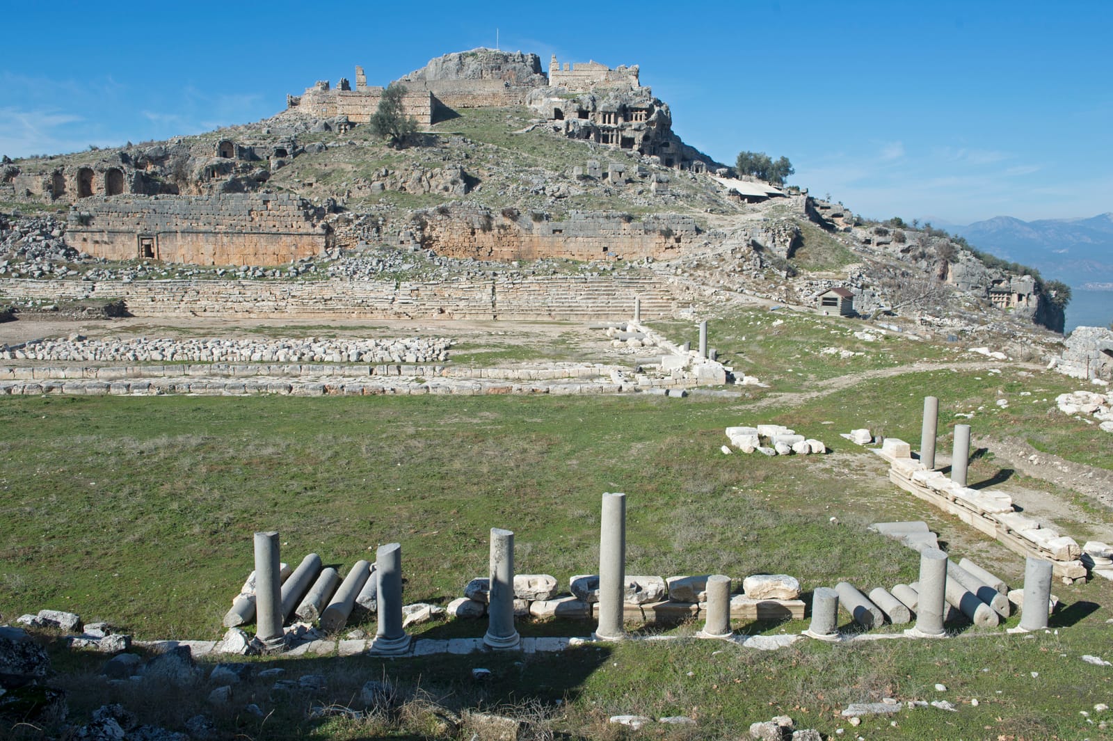
Inland from the coast, the trail climbs into the mountains. Pinara sits in a hidden valley dominated by a cliff face riddled with hundreds of tomb openings, carved so high that scholars still debate how the Lycians reached them. The hike from Pinara to Tlos crosses a mountain pass at 1,200 meters, through cedar forest where the air turns sharp and cold. Tlos appears below as you descend: a dramatic rocky acropolis topped by an Ottoman fortress, with Lycian tombs cut into its southern face. Bellerophon, the mythological rider of Pegasus, was supposedly buried here, and a tomb bearing a carved horseman may be his.
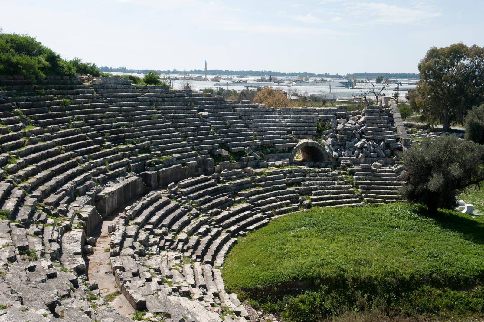
The Coast: Olympos and the Chimera
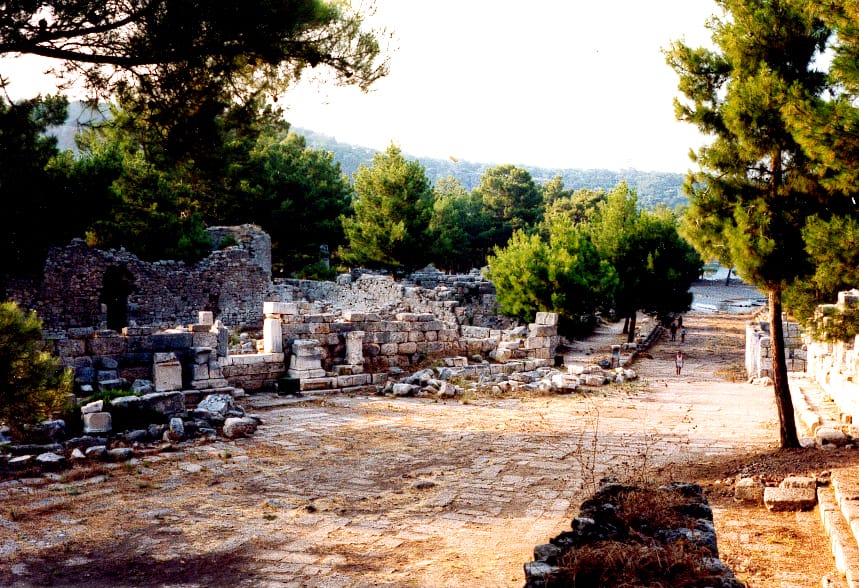
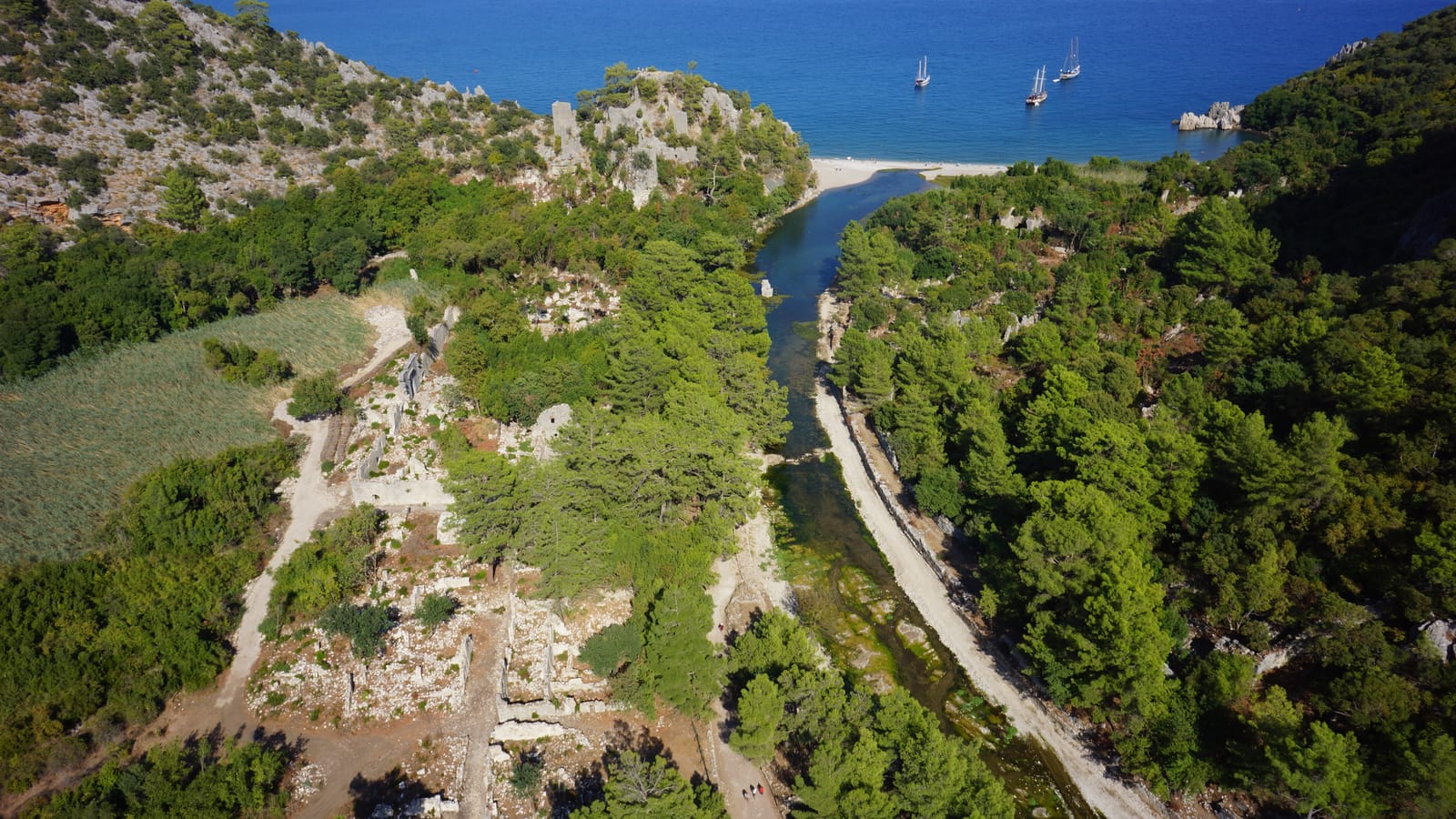
Where the mountains meet the sea, things get strange. Olympos hides in a river gorge, its Roman baths and Byzantine basilica tangled in laurel and fig trees. It is one of the most atmospheric ruins along the coast precisely because nobody has tidied it up. You walk through the city on a path that is half boardwalk, half root system, and emerge onto a pebble beach.
Above Olympos, on the flanks of Mount Chimera, natural gas seeps through the rock and burns. The Chimera flames have been alight for at least 2,500 years. Ancient sailors used them as a lighthouse. The hike up takes forty minutes, and at night the dozen or so flames flickering across the dark hillside are genuinely otherworldly. The mythological Chimera, the fire-breathing creature slain by Bellerophon, was almost certainly inspired by this place.
Practical Notes for the Modern Walker
The Lycian Way is best walked between October and May. Summer heat makes the exposed coastal sections brutal. Most hikers do selected sections rather than the full route. The western half, from Fethiye to Kaş, has the densest concentration of ruins. The eastern half is wilder and more mountainous. Village guesthouses and small pensions appear every few hours of walking. You do not need a tent, but carrying one opens up ridgeline campsites that are among the most spectacular in the Mediterranean.
The trail is marked with red and white blazes, French-style, and is generally well-maintained. A good map or GPS track is essential in the mountain sections where goat paths multiply and blazes thin out. Kate Clow's guidebook, updated regularly, remains the definitive reference.
Why It Matters
Long-distance walking has a way of collapsing time. On the Lycian Way, you eat breakfast in a village that has been inhabited since the Bronze Age, walk through a necropolis carved in the fifth century BCE, lunch beside a Roman aqueduct, and sleep in a pension run by a family whose grandparents remember when these ruins were still called by their Lycian names. The past is not behind you here. It is under your feet.